Map to Street View

Transform Google Maps arrows and directions into realistic street-level perspectives using AI visualization

Create Street View
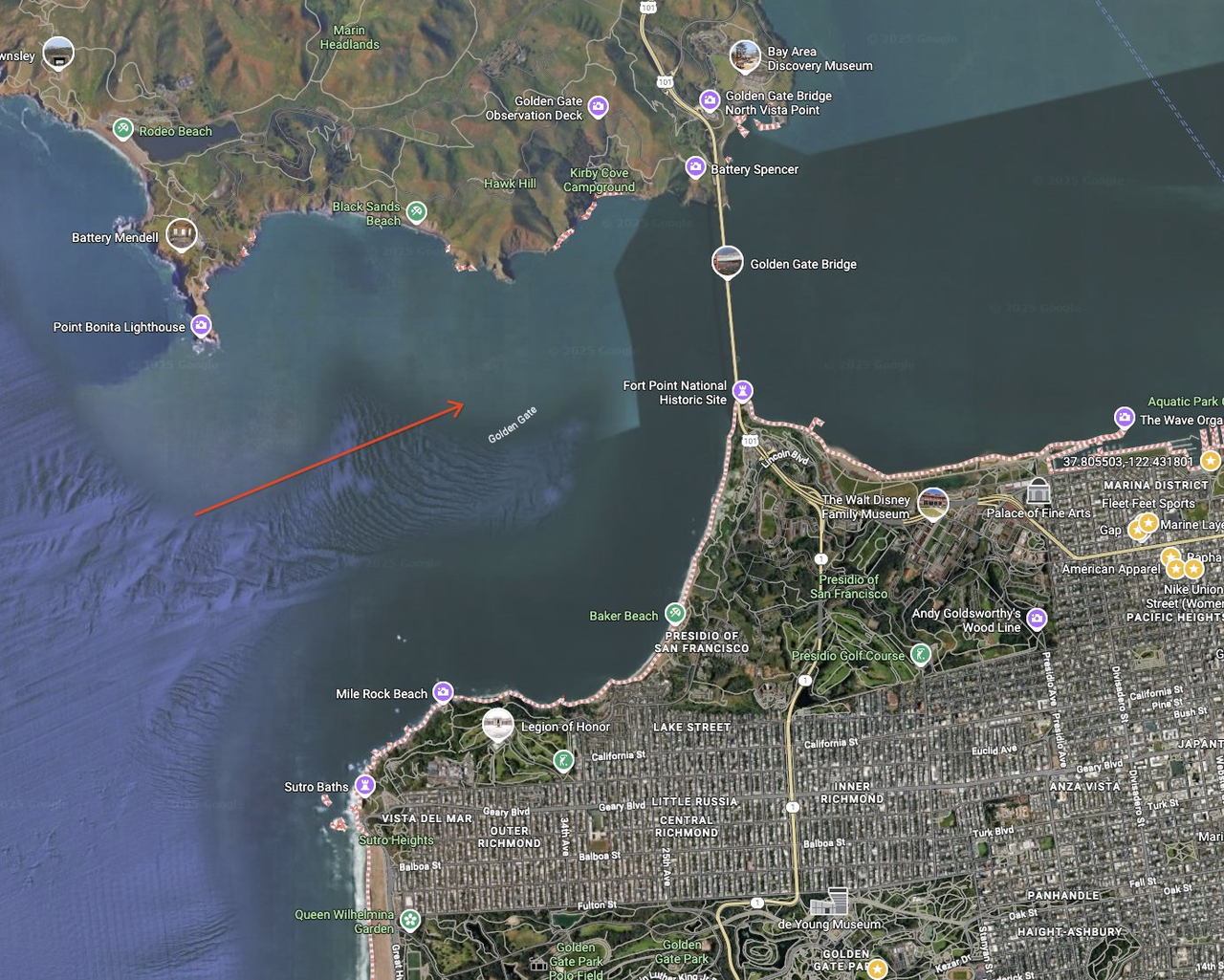
Map View
Google Maps aerial view with directions
Street View
Realistic street-level view generated from map

Upload Map Images

Drop your map images here
or click to browse • PNG, JPG, GIF • Max 16MB each

Generation Controls

Add specific details about the street view you want to generate. These will enhance the default prompt.

Processing Your Map Images

AI is analyzing your maps and generating realistic street views...

Street View Generated Successfully!

Generated street view
Download Image
🗺️ Map to Street View Generation
Upload a map image with directional indicators (arrows, markers, or highlighted paths), and our AI will analyze the geographic features, street layouts, and surrounding environment to generate a realistic street-level perspective showing exactly what you would see from that vantage point.
AI Prompt Used:
"turn this google map screenshot with an arrow into a ground perspective image showing what the view looks like from the street at that exact location"